Laws that support life
Laws are meant to protect people. But our environmental laws are failing us. We’re calling for nationally consistent laws that support the life that supports us, and a watchdog to enforce them.
It all comes down to this: without our living world, our lives aren’t possible. Yet we continue to blow past its physical limits.
By every measure, the environment that sustains us is in decline. At stake is our food and water. The air we breathe. A liveable climate. Human health and security. The future of our great cities. All the good stuff. It’s made environmentalists of us all.
So we’re building a movement to swap the destructive thinking of the past for the modern vision we need. One that’s better for all Australians—and for all life on Earth.
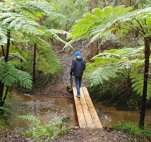
We're securing better laws and oversight for the ecosystems that sustain us, and meaningful protections for Australia's most important wild places. We’re keeping fossil fuels in the ground and promoting proven, scalable, nature-based solutions.
Laws are meant to protect people. But our environmental laws are failing us. We’re calling for nationally consistent laws that support the life that supports us, and a watchdog to enforce them.
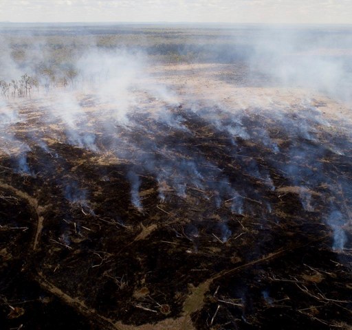
An MCG-sized area of forest and bush is bulldozed every 2 minutes in Australia. To give life a chance, we need strong, sensible deforestation laws.
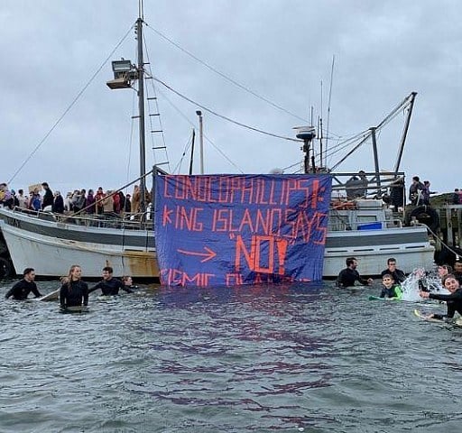
From Ningaloo Reef to the Great Australian Bight, Channel Country and the Kimberley, Australia's oceans and unique landscapes are under threat from the expansion of fossil fuels.
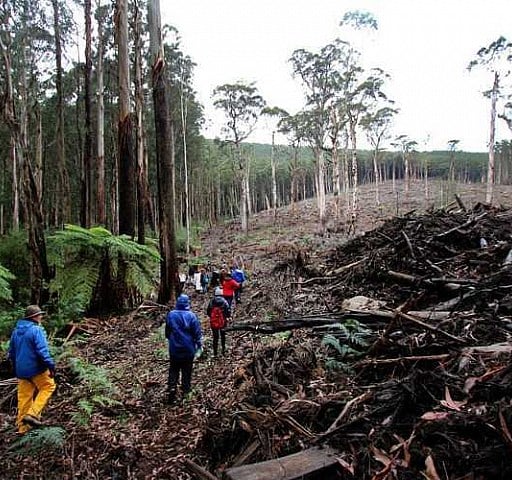
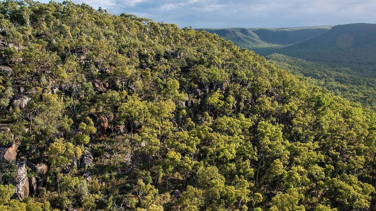
Australia is big on biodiversity. So much land, so much unique wildlife. The island continent holds over 10% of the world's biodiversity. But it is being trashed at an astounding rate—for private profit.
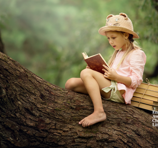
Every year the Wilderness Society shortlists the best children's nature books, showcasing some of the best writers and illustrators working in children's literature.
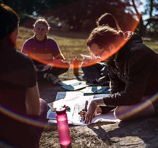
Find out how your support is protecting nature and giving communities a voice.