News - 13 May 2018
See it for yourself: Tassie reserve areas at risk

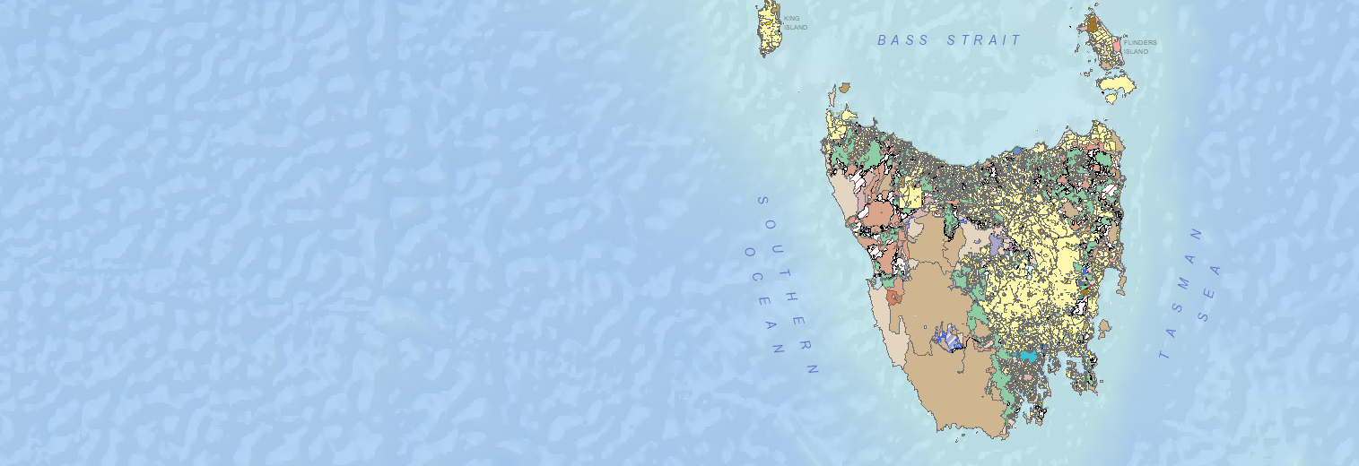
The List is a powerful land tenure map run by the state government that shows reserve areas at risk of being logged. You can access the map here:
How to view at-risk areas:
- Open the map.
- Filter the map to only show Future Potential Production Forest (Crown Land) by clicking on Land Tenure and then selecting Future Potential Production Forest. This will highlight the forests at risk.
- On the Transparency sliding tool, drag the marker across to 50%, which will make it easier to see the areas in question.
- From here, zoom in on the area you are interested in seeing using the zoom tool on the left hand side of the screen.
- In the Basemaps tab, you can select which base-layer you would prefer. The TASMAPoption is the best for navigation purposes, however the State Aerial Photo and Google Satellite options are good for exploring via the web.
(Reminder: It was the 356,000 hectares of 'Future Potential Production Forest' that the current Government renamed from 'Future Reserve Land'.)